By: Zach Simek- SLELO/APIPP
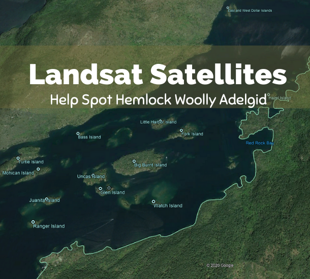
Following the recent discovery of a 250-acres infestation of HWA on the eastern shore of Lake George, a consortium of private and public sector organizations has formed the Save Our Lake George Hemlocks Initiative with the goal of identifying future infestations sooner through satellite-based remote sensing technology and boots on the ground.
A total of $125,000 is being committed to the pilot project, which is designed for use across the Adirondack Park and potentially, the entire state. Until now, identification of a HWA infestation depended solely on its discovery by someone on the ground who happened to spot the tell-tale signs once they became apparent on a tree: white woolly masses on the underside of branches, gray-tinted needles, and needle loss and branch dieback. While ground verification is essential for confirming adelgid infestations, it is impossible to cover the entire region on foot or by boat.
Using advanced remote sensing technologies and computer modeling, HWA damage can be detected before significant defoliation or tree mortality occurs, allowing for the efficient deployment of rapid-response field crews to confirm infestations and develop treatment plans. Remote sensing satellites not only produce aerial photographic images, but also capture infrared or near-infrared data that can reveal the level of photosynthetic activity taking place within a forest stand. The level of photosynthetic activity can provide evidence of declining forest health before that decline is apparent to the naked eye, making it much easier to direct ground crews to potential infestation sites.
Later this month, the initiative’s experts will begin reviewing five years of remote sensing imagery and data for an approximately 4,400 square mile region, extending from the northern portion of the Lake George Watershed south to Troy in Rensselaer County, which, prior to the Lake George infestations, was the northernmost point of established HWA populations in New York State. A time-series model will be created from satellite imagery to identify hemlock stands showing signs of health decline. On-the-ground inspections will be conducted at more than 150 stands to determine if the decline is resulting from adelgid-related damage.
In the meantime, while the remote sensing data is being gathered and modeled, initiative partners are conducting on-the-ground surveys to further assess the extent of the immediate threat. Survey teams will examine more than one hundred ecologically and hydrologically significant sites in the Lake George watershed through this pilot project that will extend into the early spring of 2021.

