Written by, Brittney Rogers-SLELO PRISM

As seasons change, people often feel inspired to initiate change. Change is important, it keeps us in the present and moving forward. So, what better time to share the changes that we have made in our field work than as fall settles across our landscape and the hustle and bustle of the warmer field season slowly comes to an end.
This was the first field season that SLELO PRISM had two full time professional staff on for the entire season. This is an important change because field work can occur from spring through autumn and, in the case of HWA, can occur through the winter months. This has been a tremendous increase in the total length of the field season. If any partners or volunteers are interested in assisting with field surveys, contact Megan to learn more about our Volunteer Surveillance Network.
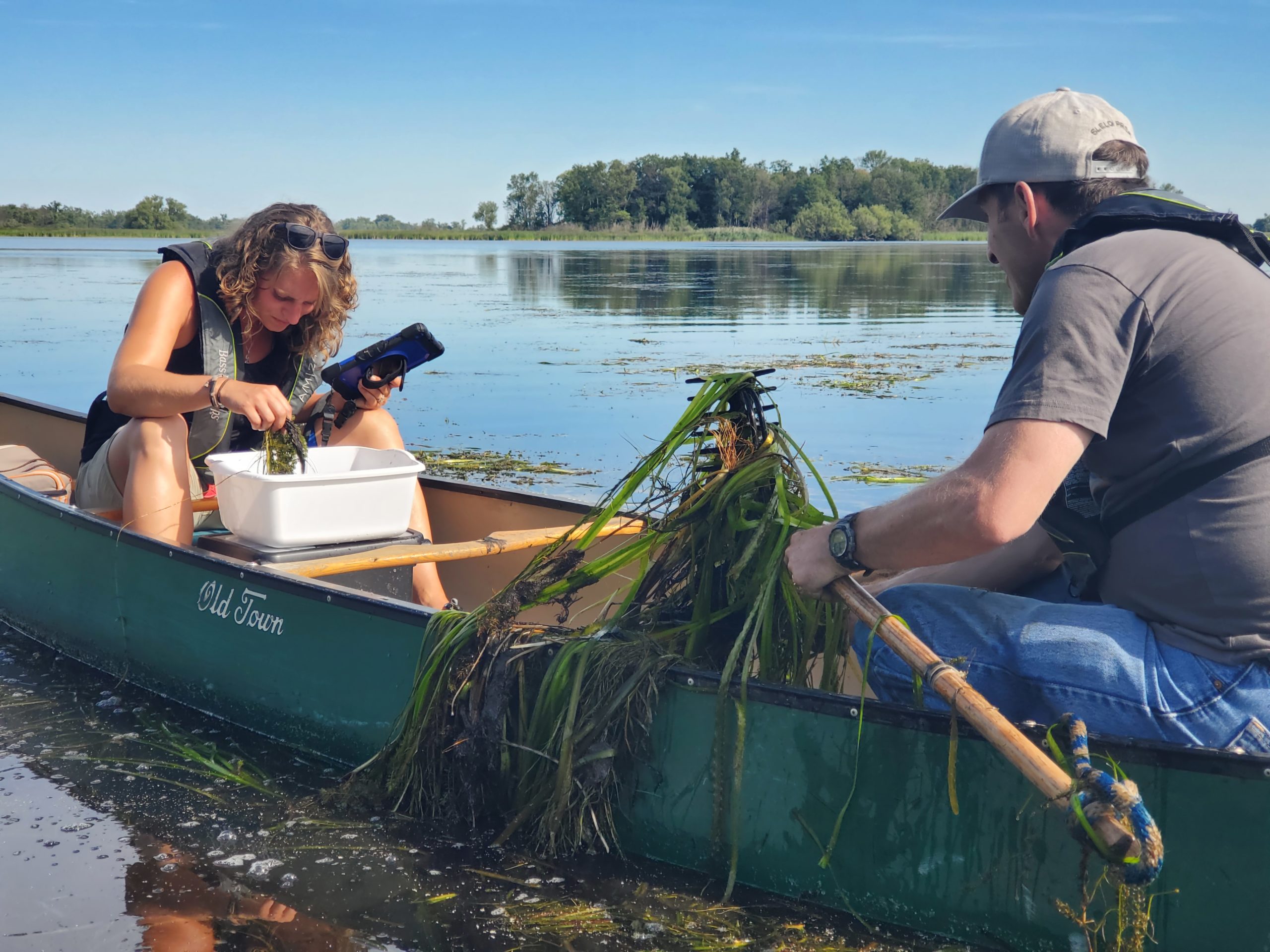
Our methods of data collection have changed tremendously this year. This includes the use of electronic devices, specifically Samsung Tablets and a Garmin, and no more pencil and paper. We worked with our partners at the NY Natural Heritage Program, the iMapInvasives team, to utilize multiple applications to include iMMA (iMapInvasives Mobile Advanced) and SASPro (Simple Aquatic Surveys for Professionals). This has allowed our data to be more uniform across our sites and standardized across the state as many organizations are using these same tools. Best of all, the invasive species information we are collecting is automatically cross walked into iMapInvasives saving both SLELO and the iMap team time on working on bulk uploads. This is important because you can access the data on iMapInvasives at any time!
With limited resources, we aren’t able to respond to and manage every invasive species we find in our region. The SLELO PRISM and partners have worked together to identify the lands and waters that are of the highest priority for surveys and management, known as our Priority Conservation Areas. We have recently transitioned to using the Tiered Species Lists which helps us understand the density and distribution of invasives in our region, and of course, what we are working hard to prevent from spreading here. As we continue to expand and improve our field survey efforts, we can look more closely at our management sites and ensure that we are controlling species populations in the areas that need the most attention.
While reflecting on the changes that we have made to improve the program, by collecting more data, reviewing our management sites, and honing in on the natives we need to protect across our region and NY we know it wouldn’t be possible without our partnerships and constant collaboration to make these things possible. So with that, we’d like to say thank you to all who have a positive impact on our program!

