
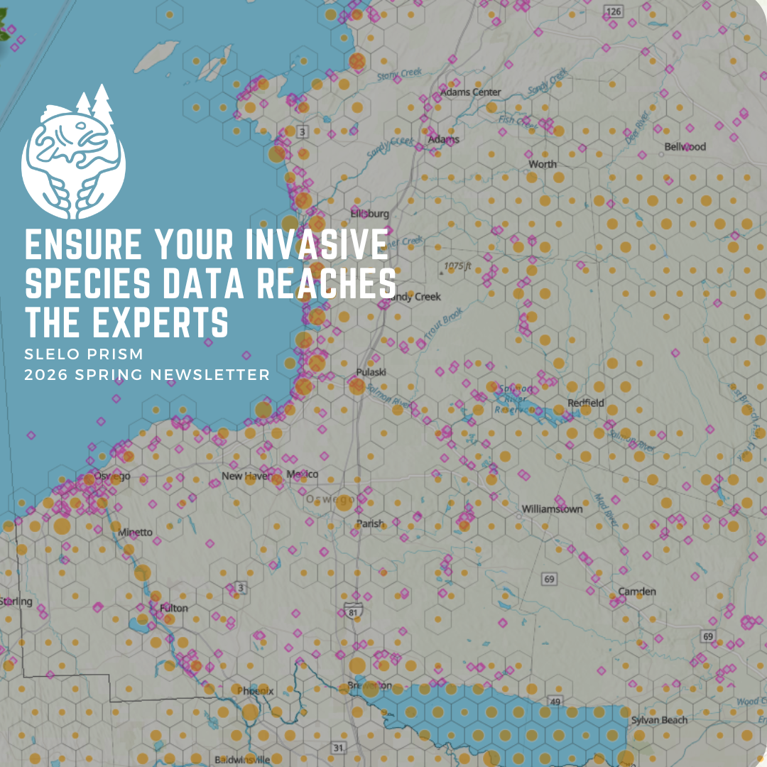
This article was featured in the 2026 Spring Newsletter by Douglas Knoph, New York Natural Heritage Program.
iMapInvasives (iMap) is designated as the official invasive species database for New York State, used by state agencies, professionals and volunteer organizations to collect data on invasive species locations and management. Our team at the New York Natural Heritage Program (NYNHP) is always working to connect existing data sources to iMap to provide the best possible picture of species distribution and abundance throughout the state. One of the most common questions we get comes from users of iNaturalist, who want to ensure invasive species data submitted to iNaturalist can still be utilized by professionals over in the iMap network.
The simple answer to this question is yes, it is possible to have your iNaturalist data represented in iMap. To capitalize on the expansive network of community scientists contributing data to iNaturalist, we have set up a system to automatically bring high-quality data from their platform directly into iMap on a weekly basis, once it meets the following criteria.
Your iNaturalist record is a tracked invasive species:
We track 634 species in New York using iMapInvasives, with other states tracking additional species as well. If you collect a record for any of these species on iNaturalist, it is eligible to be brought over into iMap (with a few exceptions).

Your record in iNaturalist is research-grade:
Once a species identification on an iNaturalist record has been agreed upon by 66%of people, it is considered ‘Research Grade,’ allowing the record to be picked up in our crosswalk. Note: this can take time, some records linger for years before reaching ‘Research Grade’.

Your iNaturalist account has data-sharing enabled in licensing:
iNaturalist users have the option to choose how others can use theinformation in their records, which includes moving them into other databases, such as the Global Biodiversity Information Facility (GBIF). In your iNaturalist account settings, you can change your data licensing under the ‘Content& Display’ tab. Any license type that is tagged as GBIF-eligible will also allow iMap to pick it up.


If all three of these mentioned criteria are met, your iNaturalist record will be crosswalked over into iMap and placed in a separate data layer. This layer can be viewed by anyone logged into an iMap account, and each record links back to the original iNaturalist Record. These records are also utilized in the various annual data analyses that are run on iMap data to support our prioritization tools, such as the invasive species tiers. You can learn more about how iMap and iNaturalist interact from our recent webinar on the topic.
Reporting directly to iMapInvasives is still the best way to make your observation immediately visible to the invasive species network (PRISMs, etc.). Furthermore, iMap provides options for delineating polygons and reporting multi-species records, non-detections, and treatment records.
However, iNaturalist is a very popular platform with increasingly valuable data, and we embrace that to compile the most complete invasive species dataset for New York State.
Watch a webinar on this topic linked below.
Please fill out the form below to be added to our listserv and receive our seasonal newsletter, event invitations and other announcements.
