This article was contributed by Robert Smith-SLELO PRISM, in the 2021 Spring Newsletter.
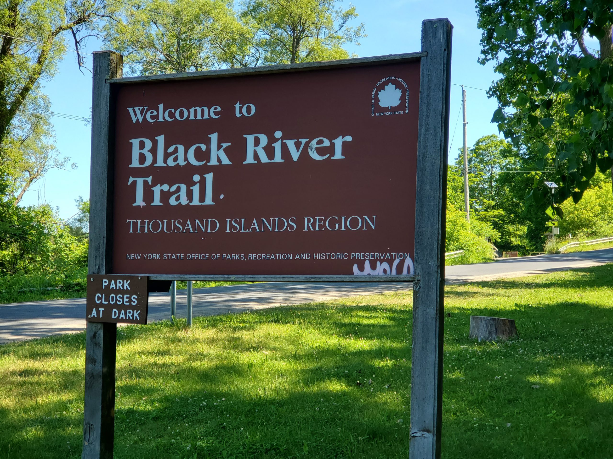
The Black River Trail is a trail that extends from the Village of Black River, near Fort Drum to Watertown. It is a frequently visited trail with an estimate of 104,000 visits in 2019. A big issue on this trail is the abundance of invasive species present, including phragmites, swallowwort, oriental bittersweet, buckthorn, and honeysuckle. To get a better understanding of the extent of the invasive species problem and the native species that are at risk on this trail, and how we might approach this issue with some practical solutions, we decided to conduct a feasibility study.
The first step in this study was to conduct a survey of the plant species, both native and non-native, man-made features, and landscape features along this trail. Our area of concern was a 3.5-mile segment adjacent to the river that was approximately 85 acres in size. Given the large size, it was decided that the trail should be broken down into 1/8 mile long segments. This method would also tell us where the highest quality plant communities and greatest invasive species problems were located. This survey was completed last summer and we then moved on to the analysis. We decided during the analysis that a prioritization system was needed to tell us where management was of the greatest need and where the need was low. Projects of this size are often hampered by budgetary constraints. This prioritization system would allow us to work on the highest priority sections that our limited budget can afford.
The prioritization system we came up with is a little complicated but is basically a comparison of native plant community quality and invasive species quantities in each segment. The major breakdown of prioritization resulted from the calculation of what is called a Floristic Quality Index (FQI). This is a common index for determining the quality of a plant community. The resulting scores placed all segments into 1 of 3 categories (Low, High, Natural Area). Natural Area was the highest category, so these are the areas of greatest value to protect and are the highest priority. Low Areas were placed at the bottom as they contain little or no species of concern. Those sections in the high category were in the middle and required a further breakdown. What we came up with was called a summary score and compared native community quality with the types and quantities of invasive species present in each segment. The final part of the prioritization is a spatial analysis that considers where each prioritized section is located. This allows our system to be flexible in that we can include a lower priority section if it is located between higher priority segments. This ensures continuity of control in an area and avoids a segment becoming a source for reseeding invasive species. The end result of our prioritization system allows us the freedom to focus our management where it needs it most within a limited budget.
The feasibility study report is currently available on our Field Reports Page.