A Bird’s Eye View of Invasive Spread and Treatment Success
November 10, 2025
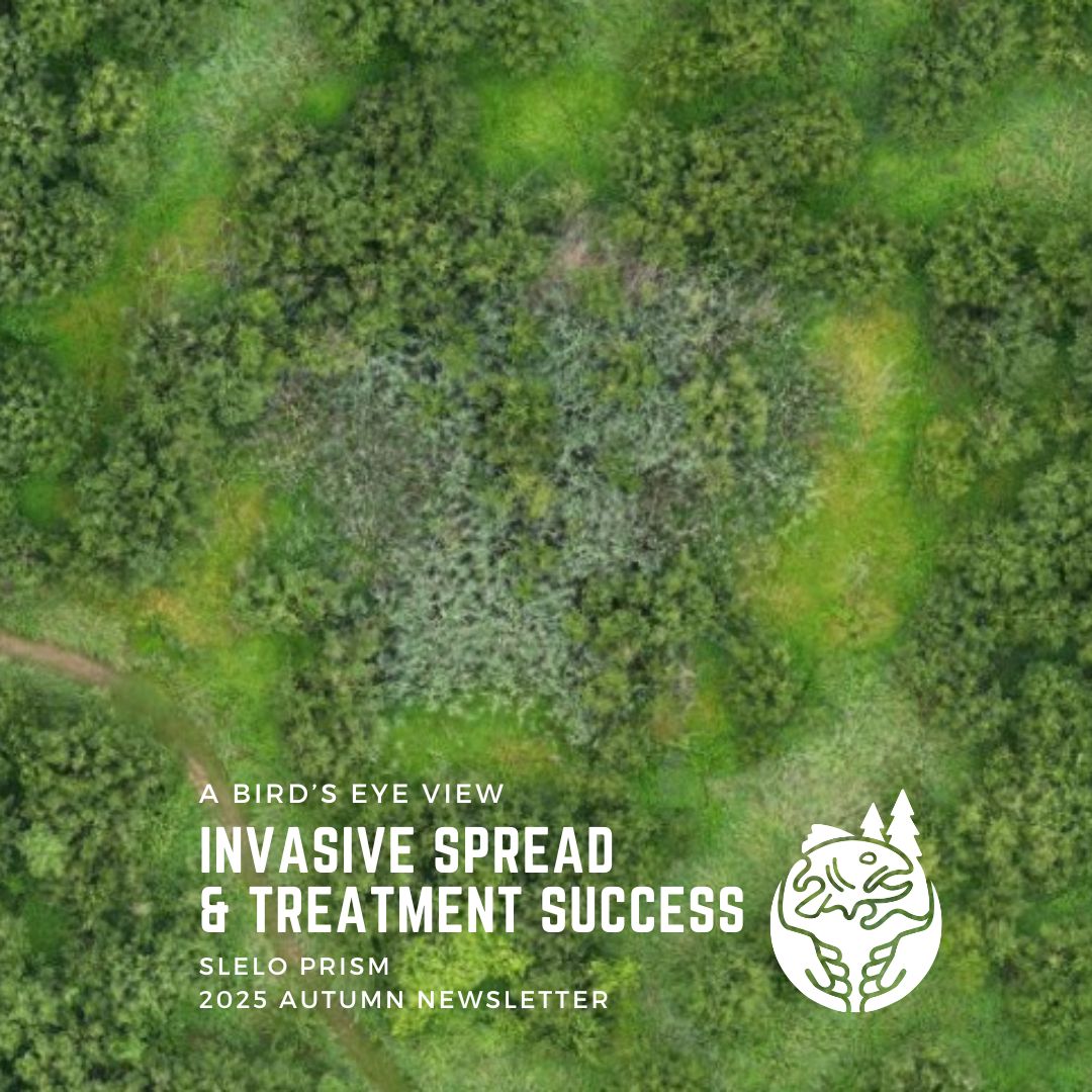
This article was featured in the 2025 Autumn Newsletter by Carolyn Koestner, SLELO PRISM/APIPP PRISM.
This summer, we had the opportunity to use our new drone to repeat and expand upon aerial monitoring work that SLELO conducted in 2021.
Over the course of the summer, our Conservation and GIS Analyst, and resident drone pilot, Carolyn conducted ten drone flights across Deer Creek WMA and Lakeview WMA WMA to monitor spread of Water chestnut and effectiveness treatments in collaboration with DEC regional staff. Flights were conducted before and after water chestnut treatments so that we could track treatment efficacy in near real time.
We also used these flights to track progress of treatments for other species such as phragmites. For example, in the images below you can see the initial extent of a patch of Phragmites at Lakeview WMA in 2021, updated imagery from this year shows a significant decrease in the size of the patch and the emergence of new vegetation.
Phragmites at Lakeview WMA in 2025. Photo taken by Carolyn Koestner,
Phragmites at Lakeview WMA in 2021. Photo taken by Carolyn Koestner.
Finally, this year we also began incorporating the drone into our Forest Health Monitoring work by taking aerial imagery of one of our hemlock health monitoring plots. Moving forward, we plan to refly this same flight annually to track health of this stand as it continues to face increasing pressure from Hemlock Wooly Adelgid.
It was successful season of drone flying and we look forward to continuing to expand upon and incorporate more of this tool into our work.